Map projections
 Swedish

Contents
DotSpatial supports most known projections, but currently only SWEREF99 TM (EPSG:3006) and RT90 25 Gon W (EPSG:3021) are recommended for using in Heureka. If you add map data that has a different projections, you will be offered to reproject the data on the fly.
When you import a shape-file, make sure the the associated .prj file is available. Otherwise the program will assume either SWEREF99 TM or RT90 depending on the magnitude of the east coordinate.
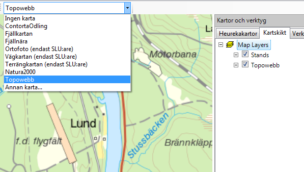
Note that some map service, such as Topowebb from Lantmäteriet, are now available in RT90. If you change the map projection and you have added a background map (WMS or WMTS) that does not support the selected projection, the background map will be disabled.
Default map projection
In the Settings form (open from the Tools-menu), you can changed the default map projection under tab Map.